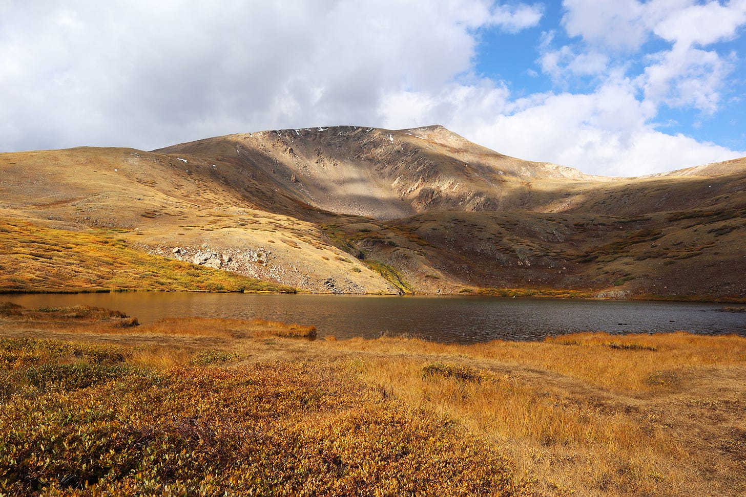
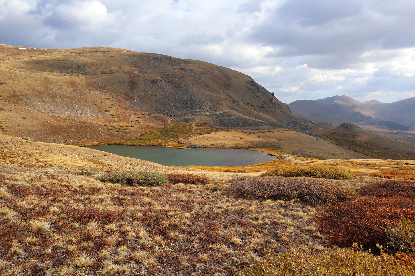
The autumn colors are peaking in various places around Colorado, and I am eager to get out and enjoy the season before it’s over. Fortunately, my car is back from the repair shop, and with a new thermostat in place, I’m as free as a bird—or at least as free as a person with a reliable car. Having been tethered to my home for so long, such mobility is a delightful luxury.
And so, for my first autumnal leaf-viewing excursion, I select the Guanella Pass Scenic Byway. I start my day at a cheerful 3 a.m. with the hope that a departure in the wee hours will give me a leg-up on the traffic. Thus, under inky black skies, I find myself heading out of Denver along U.S. Route 285.
The roads are quiet and relaxing to drive, and I make quick progress on routes usually clogged with traffic. By the time I reach the small town of Grant, the sun begins to brighten the sky, and yet in the dim dawn light, I almost miss the turn onto Guanella Pass Road (County Road 62). Fortunately, the small Colorado Scenic Byways signpost catches my eye just in time.
And what a road it is! It winds gently upward, through a quiet valley aglow with fall colors. I pull over to take a few photos and then am treated again—a flock of 11 bighorn sheep trots softly from behind me, their hooves pattering lightly over the pavement. They move quickly past me and my car, uninterested in either of us. I spot a couple of lambs in the group, but the adults keep them hidden deep within the huddle.
I’m intrigued by the history of Guanella Pass Road. I read how it was a burro trail used during the Colorado Silver Boom of the late 1800s. Today, it’s wider and smoother—a far more streamlined thoroughfare—having been paved over in 2015. Despite the many downsides that paved roads inflict upon wild places, I am pleased for it as I can experience this scenic drive.
I arrive at the top of the pass and pull off to have a look-see. Leaving the car at the Guanella Pass parking lot, I don my mask and set off to hike to Lower Square Top Lake along the South Park Trail.
I trek up to the lake, and the gorgeous colors and views convince me to continue on for another quarter mile, ascending a gentle ridge where I take a photo of the lake below. A sign indicates the trail continues, but I don’t have a map, and the weather is turning cold and cloudy. I decide to turn back.
I return to the car and begin my drive back: through Georgetown, down I-70, and finally home. A lovely day, but an exhausting one.


